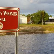
Adjacent To A Canal – Time To Take Action
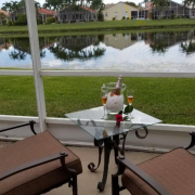
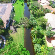
Many people in southeastern Palm Beach County live adjacent to a Lake Worth Drainage District (LWDD) canal. To enhance their backyard, residents look to install landscape materials or structures such as swing-sets and fences. Often without realizing it, these enhancements are installed on LWDD’s rights-of-way which is publicly managed land used for flood control operations.
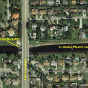
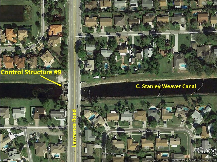
Effective flood control depends on LWDD’s extensive network of canals to move stormwater away from homes after major weather events. This is especially true during hurricane season. Vegetation and other structures on the canal rights-of-way can severely hinder LWDD’s ability to keep residents safe during and after severe storms. Trees and large shrubs can topple over in high winds blocking emergency access along the canal bank or fall into the canal channel blocking the flow of water. A blocked canal channel not only endangers the residents adjacent to the canal but also individuals living miles inland.
Maintaining water flow within the canal channel and access along the right-of-way is vital for public safety. It requires daily maintenance by LWDD crews as well as the removal of identified encroachments. LWDD encourages adjacent property owners to act before storm season – June 1. Clear vegetation and remove unauthorized encroachments from the canal right-of-way. Additionally, residents should evaluate landscaping and structures on their private property that may pose a potential flooding threat.
If you live adjacent to a canal and need help identifying the property boundary, contact LWDD’s staff at info@lwdd.net and help us help you to become storm ready.