Got Maps?
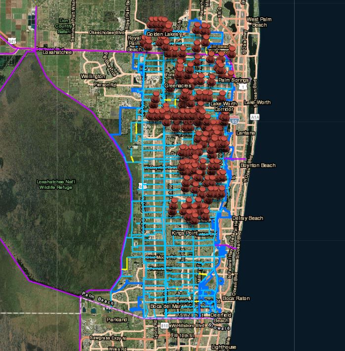
GIS data and various maps are available to the public on our online GIS Mapping Portal located on the top menu bar under the tab Resources. On the portal you will find maps and information on LWDD’s boundaries, canals, water control structures, permits and maintenance activities. If you cannot find what you are looking for, contact us at 561-498-5363 or email info@lwdd.net.


